Met Office Issues New Alert for Approaching Snowfall in the UK

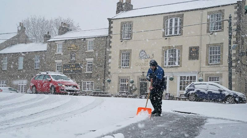
The UK is on alert as weather forecasts predict a significant snowfall in the coming days, triggered by cold Arctic winds. The Met Office has issued a warning, highlighting the likelihood of blizzard conditions, particularly in Scotland and the North East. The first major snowfall of the year is expected, with the Met Office’s long-range forecasts indicating potential wintry showers and frost.
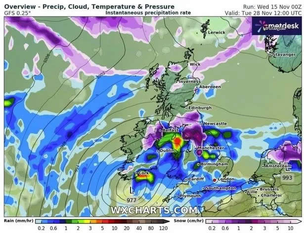
WXCharts’ maps reveal a cold front moving from the north, with heavier snowfall indicated in areas marked purple. The Met Office’s statement for the period from November 23 to December 2 anticipates varied weather across the UK, with a clear north-south divide. Southern regions might experience drier conditions with some sunshine, while northern areas, especially western Scotland, can expect more cloud, rain, and wind.
This weather pattern may include intermittent colder spells, especially in the north and northeast, bringing wintry showers and frost. The exact timing and extent of these cold spells are uncertain, with milder, wetter intervals possible in between.
As the second weekend of this period approaches, the weather is likely to become more changeable, with a slight chance of continued settled conditions in the south.
Experts predict that the snowfall could reach up to 2cm per hour in some regions. James Madden from Exacta Weather warns that northern parts of the UK will be most affected, including lower-level areas. There’s also an increasing likelihood that the snow will reach lower parts of the country, potentially affecting regions as far south as the Midlands and Central/Southern England.