Monster Snowstorm Incoming: Maps Reveal 7-Inch Blizzard Set to Slam 43 UK Counties
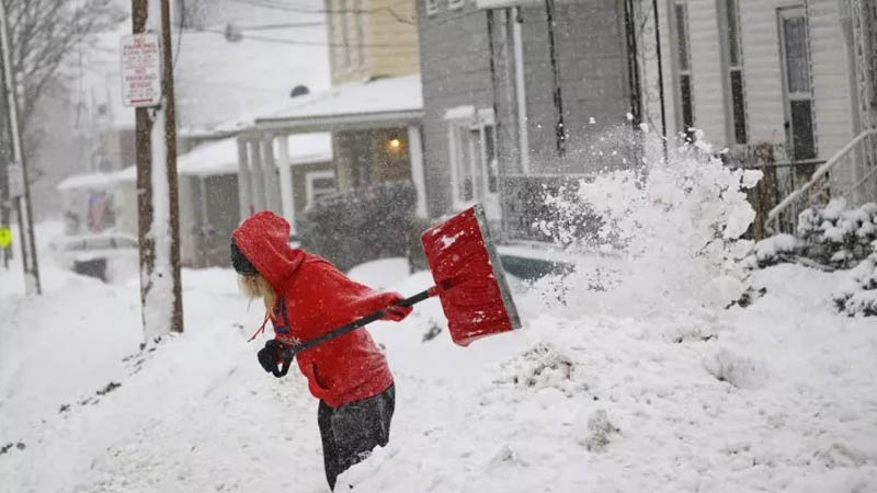
Just as we were getting used to the idea of spring, Brits are being told to brace themselves for a major snow blast that’s set to sweep across the country next week—coating over 40 counties in thick flurries, with some areas in for as much as seven inches of the white stuff.
According to fresh data from WXCharts, the snow is expected to start spiraling in from around midnight on Wednesday, April 9. The weather maps are already showing deep purple shades – never a good sign – indicating intense snowfall on the way.
After a brief burst of sunshine that had London and parts of the southeast basking in temperatures of up to 18°C this week, it’s looking like we’re heading right back into wintry territory. The Met Office has acknowledged we’ll likely hang onto the “fine and dry” conditions into early April but warned that things could take a colder, more unsettled turn, especially down south, reported the Mirror.
As for the snow, WXCharts reckon it’ll first hit the Northeast, the Northwest, and the Midlands in the early hours of April 9. Huddersfield, Leeds, Bradford, and the Lake District are all set to wake up under a blanket, with Inverness and all of Northern Ireland in the line of fire, too.
By 6 am, the snow is expected to intensify in places like Manchester, Birmingham, Shropshire, and Belfast. And from there, it’s only spreading further – with nearly all corners of the UK set to see flakes fall. Newcastle, Cardiff, Dublin, Inverness, the Scottish Highlands, and large parts of Wales are all expected to get a proper winter flashback.
In Wales, places like Gwynedd, Clwy,d and Powys could see snowfall of up to 17cm (around 6 inches), while the heaviest dumping is predicted for County Tyrone in Northern Ireland and East Ayrshire in Scotland, where 18cm (7 inches) could fall.
Though the Met Office hasn’t officially forecast snow just yet, its long-range outlook for April 9 to 23 hints at what’s to come. They’re predicting a “slow-moving” weather pattern dominated by high pressure to the north, which could bring a mix of dry days and colder nights. And if anything unsettled does creep in, it’s likely to hit the south first.
So, while we might’ve had a taste of spring, don’t pack away those winter coats just yet – it looks like the UK’s not quite done with snow.